🏗️ Construction Intelligence
Advanced field technology meets regulatory expertise. Reduce construction risks, accelerate permitting, and maximize ROI with integrated 3D mapping, precision measurement, and compliance-ready deliverables.
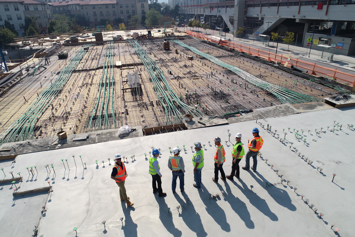
Traditional surveying methods are time-consuming and often miss critical details, leading to costly change orders and delays during construction.
Remote decision-makers need immersive ways to understand site conditions without traveling, especially for multi-site projects or international clients.
Manual progress tracking and reporting consume valuable time while providing limited visual documentation for stakeholders and contractors.
Traditional documentation methods fail to capture the complete picture needed for facility management, future renovations, and regulatory compliance.
Equipment: Matterport Pro3 Camera System
Create immersive 3D construction site walkthroughs and digital twins enabling remote stakeholder visualization and faster project decision-making.
Equipment: EOS Arrow 100 GNSS + Moasure Pro2
High-accuracy GNSS site surveys and rapid field measurements of complex building geometries for grading, foundations, and utilities.
Equipment: DJI Phantom 4 Pro + Analytics
High-resolution aerial mapping and orthomosaics for comprehensive planning and continuous construction monitoring.
NEPA-Compliant Assessments
Ensure your construction project meets all environmental regulations while minimizing ecological impact and streamlining permitting.
Advanced GIS Analysis
Advanced GIS analysis evaluating thousands of data points to identify optimal construction sites with comprehensive risk assessment.
3D Safety Planning
Comprehensive safety documentation using 3D mapping and drone technology to identify hazards and maintain OSHA compliance.
Professional 3D capture with millimeter accuracy for comprehensive digital twins
Professional aerial mapping with obstacle avoidance and automated flight planning
Sub-centimeter positioning accuracy for critical infrastructure and boundary work
Instant measurement of complex geometries with survey-grade precision

Challenge: Climate risk assessment and remote investor presentation
Technology: Matterport Pro3, DJI drone mapping, precision GNSS

Challenge: Home construction without wetland impact
Technology: EOS Arrow 100 GNSS, Moasure Pro2, aerial mapping

Challenge: Evaluate 50+ development sites efficiently
Technology: Comprehensive aerial mapping, GIS analysis, 3D modeling
Our EOS Arrow 100 GNSS system provides sub-centimeter accuracy, matching or exceeding traditional survey methods while being significantly faster for complex geometries.
Yes, our Matterport digital twins are web-based and viewable on any device with a web browser. No downloads or special software required.
Yes, we provide point cloud data and 3D models compatible with all major BIM platforms including Revit, Bentley MicroStation, and Trimble SketchUp.
We can provide weekly, bi-weekly, or monthly aerial surveys depending on your project needs and budget. Most clients find monthly updates optimal.
Yes, our equipment is portable and we provide services nationwide. We have FAA Part 107 certified pilots and coordinate with local regulations anywhere in the US.
We provide multiple formats including PDF reports, CAD files (DWG/DXF), GIS data (SHP/GDB), BIM models (RVT/DGN), and web-viewable 3D models.
Contact our GISP-certified consultants for a free project assessment
Professional construction GIS services, drone surveying, and environmental consulting since 2018.