🏗️ Construction Intelligence
Professional Aerial Mapping

Drone Mapping & Construction Monitoring Services

High-resolution aerial mapping and orthomosaics for comprehensive construction planning and continuous monitoring using professional-grade DJI Phantom 4 Pro with advanced analytics capabilities for accurate progress tracking and site documentation.

20MP Camera Resolution
2cm Ground Resolution
500 Acres/Day Capacity
DJI Phantom 4 Pro drone flying over construction site

Professional Drone Technology
DJI Phantom 4 Pro Professional Drone

DJI Phantom 4 Pro Professional

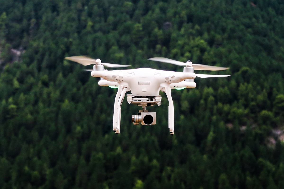
Industry-leading aerial platform with advanced obstacle avoidance and automated flight planning capabilities.

Camera System
  • Sensor: 1" CMOS, 20MP effective pixels
  • Lens: FOV 84° 8.8mm/24mm (35mm format equivalent)
  • ISO Range: 100-3200 (video), 100-1600 (photo)
  • Video: 4K/60fps, 2.7K, FHD/120fps
  • Photo Modes: Single, Burst, AEB, Interval

Flight Performance
  • Max Flight Time: 30 minutes
  • Max Speed: 45 mph (Sport Mode)
  • Max Service Ceiling: 19,685 ft above sea level
  • Max Wind Speed Resistance: 24 mph
  • Operating Temperature: 32° to 104°F

Navigation & Safety
  • Positioning: GPS/GLONASS dual positioning
  • Obstacle Sensing: 5-direction obstacle sensing
  • Smart Flight Modes: Automated mission planning
  • Return-to-Home: Intelligent RTH with obstacle avoidance
  • Redundancy: Dual IMU and compass systems

Transmission & Control
  • Control Range: Up to 4.3 miles (7km)
  • Video Transmission: 1080p HD live view
  • Operating Frequency: 2.4 GHz and 5.8 GHz
  • Storage: MicroSD card support up to 128GB
  • Remote Controller: Built-in screen with DJI GO 4 app

Comprehensive Aerial Mapping Services

Orthomosaic Mapping

High-resolution georeferenced aerial imagery with centimeter-level accuracy for comprehensive site documentation and planning.

  • 2-5cm ground sampling distance
  • True orthographic correction
  • Color-balanced seamless mosaics
  • Multiple file format outputs
  • GIS-ready georeferenced data
Deliverables: GeoTIFF, JPEG, KMZ, Shapefile formats

3D Modeling & Point Clouds

Detailed 3D reconstruction of construction sites using photogrammetry for accurate volume calculations and progress monitoring.

  • Dense point cloud generation
  • Textured 3D mesh models
  • Digital surface models (DSM)
  • Digital terrain models (DTM)
  • CAD and BIM integration
Deliverables: LAS, PLY, OBJ, FBX file formats

Volumetric Analysis

Accurate stockpile measurements and cut/fill calculations using advanced 3D analysis for construction progress tracking.

  • Stockpile volume calculations
  • Cut and fill analysis
  • Progress quantity tracking
  • Material inventory reports
  • Automated change detection
Deliverables: Volume reports, CAD drawings, Excel summaries

Progress Monitoring

Time-lapse documentation of construction progress with regular aerial surveys to track project development over time.

  • Weekly, monthly, or custom intervals
  • Before/after comparisons
  • Time-lapse video creation
  • Progress percentage calculations
  • Milestone documentation
Deliverables: Progress reports, time-lapse videos, comparison maps

Safety Inspections

Aerial safety assessments of construction sites, towers, and infrastructure without putting personnel at risk.

  • High-resolution structural imaging
  • Hard-to-reach area inspection
  • Thermal imaging capabilities
  • OSHA compliance documentation
  • Safety hazard identification
Deliverables: Inspection reports, annotated imagery, safety documentation

Corridor Mapping

Linear infrastructure mapping for roads, utilities, and pipelines with precise corridor documentation and analysis.

  • Linear asset mapping
  • Right-of-way surveys
  • Utility corridor documentation
  • Environmental impact assessment
  • Cross-section generation
Deliverables: Corridor maps, profile drawings, alignment data

FAA Part 107 Certified

Licensed Commercial Remote Pilot

Professional & Regulatory Compliant Operations

All drone operations are conducted by FAA Part 107 certified remote pilots with full commercial licensing and insurance coverage. We maintain strict compliance with all federal aviation regulations and coordinate with local authorities as required.

FAA Part 107 Licensed

Commercial remote pilot certification with current medical and recency requirements

Full Insurance Coverage

Professional liability and equipment insurance protecting your project

Airspace Authorization

LAANC authorization and coordination with controlled airspace when required

Visual Line of Sight

Strict adherence to VLOS requirements with qualified visual observers when needed

Professional Drone Mapping Workflow
01

Pre-Flight Planning

Site assessment, airspace analysis, weather evaluation, and mission planning using professional flight planning software with automated route optimization.

  • Site reconnaissance and hazard assessment
  • Airspace authorization (LAANC when required)
  • Weather analysis and flight window selection
  • Ground control point placement planning
  • Flight mission programming and validation
02

Ground Control Setup

Establishment of survey-grade ground control points using GNSS technology for accurate georeferencing and coordinate system alignment.

  • Strategic GCP placement for optimal coverage
  • High-accuracy GNSS positioning
  • Target installation and documentation
  • Coordinate system definition and verification
  • Quality control measurements
03

Automated Flight Execution

Professional drone operation using automated flight patterns with real-time monitoring and quality control to ensure complete coverage and optimal data capture.

  • Automated waypoint navigation
  • Consistent altitude and speed maintenance
  • Optimal overlap and sidelap settings
  • Real-time image quality monitoring
  • Safety monitoring and contingency protocols
04

Data Processing & Analysis

Professional photogrammetric processing using industry-standard software to generate high-quality orthomosaics, 3D models, and analytical products.

  • Structure-from-Motion (SfM) processing
  • Ground control point integration
  • Bundle adjustment and optimization
  • Dense point cloud generation
  • Orthomosaic and 3D model creation
05

Quality Control & Delivery

Comprehensive quality assessment, accuracy verification, and professional deliverable preparation with complete documentation and metadata.

  • Accuracy assessment and validation
  • Quality control report generation
  • Multiple format deliverable preparation
  • Metadata documentation and standards compliance
  • Client review and revision incorporation

Construction Industry Applications
Building Construction Site Aerial View

Building Construction

Complete project documentation from groundbreaking to completion with regular progress monitoring and safety inspections.

  • Foundation and structural progress tracking
  • Material delivery and storage monitoring
  • Safety compliance documentation
  • Quality control inspections
Road Construction Aerial Mapping

Infrastructure Development

Linear project mapping for roads, bridges, and utilities with precise corridor documentation and environmental monitoring.

  • Road construction progress tracking
  • Bridge and infrastructure inspection
  • Utility corridor mapping
  • Right-of-way documentation
Mining and Quarry Operations

Mining & Quarry Operations

Volumetric analysis and inventory management for mining operations with regular stockpile measurements and environmental compliance.

  • Stockpile volume calculations
  • Mine progress documentation
  • Environmental impact monitoring
  • Equipment and asset tracking
Solar Farm Construction

Renewable Energy Projects

Solar and wind farm construction monitoring with precise installation verification and performance optimization analysis.

  • Solar panel installation verification
  • Wind turbine foundation documentation
  • Transmission line corridor mapping
  • Environmental compliance monitoring

Technical Advantages of Drone Mapping

Professional drone mapping provides significant advantages over traditional surveying methods, delivering faster data collection, improved safety, and comprehensive documentation capabilities.

Drone Mapping vs Traditional Methods
Aspect
Traditional Survey
Drone Mapping
Data Collection Speed
Days to weeks
Hours to days
Site Access
Physical access required
No ground access needed
Safety Risk
Personnel exposure
Remote operation
Data Density
Point measurements
Continuous coverage
Visual Documentation
Limited imagery
Complete visual record
Cost Effectiveness
High labor costs
Reduced field time
Drone operator controlling professional mapping drone

Ready to Transform Your Construction Documentation?

Get professional drone mapping services with high-resolution imagery, accurate measurements, and comprehensive progress tracking for your construction project.

FAA Part 107 Certified
Rapid Turnaround Available
Nationwide Services
\n